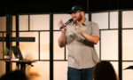


Today we’d like to introduce you to Derrick Frohne.
Hi Derrick, thanks for joining us today. We’d love for you to start by introducing yourself.
2020–2021: AeroFrohne was officially founded in August 2020, in Austin, Texas. As a UAV pilot, I began by providing aerial photography, real estate visuals, and marketing content across Central Texas. Those early projects established a reputation for precision, creativity, and reliability, while allowing me to deeply understand real world operational constraints and client expectations.
2022:
As project complexity increased, AeroFrohne’s focus shifted toward orthomosaic mapping, volumetric analysis, and 3D modeling. I refined the processing pipeline for speed and accuracy, laying the groundwork for large scale aerial mapping and analytics work across Texas and New Mexico, particularly in the oil & gas sector with more than 10,000 acres mapped.
2024:
In 2024, AeroFrohne expanded into utility asset inspection, environmental mapping, and public-sector GIS deliverables. Ai assisted analysis and 3D modeling became core differentiators as we blended orthomosaics, LiDAR, and photogrammetry into immersive, measurable 3D environments designed for infrastructure owners, engineers, and government agencies.
2025:
By 2025, AeroFrohne had evolved into a Texas based aerial imaging, R&D, and technical visualization firm integrating Ai, LiDAR, 360° photogrammetry, and 3D Gaussian Splatting into turnkey deliverables. AeroFrohne launched services such as Strail 360 mapping, t-3DGS modeling, Google Street View and Google Earth integrations, and awarded multiple government contract agreements supporting public sector clients across the United States.
That same year marked a major milestone for my small family based business with our first vehicle mounted 360° mapping operation, including experimental work on interactive and augmented reality street capture during the Harbor Bridge 2.0 project. This expansion from aerial imaging into large scale infrastructure capture solidified our reputation for Ai assisted thermal and RGB inspections, 3d renders, automated geospatial analysis, and safety oriented remote sensing.
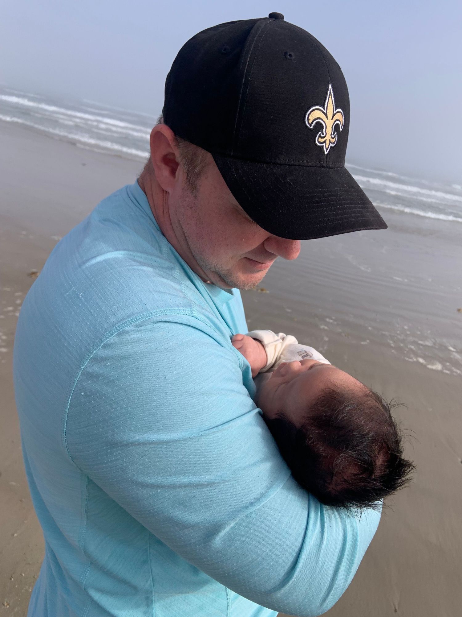
Today, AeroFrohne operates with a global, distributed team, not only across the United States but internationally, allowing AeroFrohne to scale specialized field operations, software development, and data processing worldwide. Behind the scenes, this period was also deeply personal. On December 7, 2025, my son Hans “Hansi” Frohne was born. Balancing field deployments, software development, administrative responsibilities, global recruiting for LiDAR technicians, architects, surveyors, and architectural photographers round the clock accountability for AeroFrohne while also learning how to be a present, dependable parent, and role model was one of the most demanding challenges of my life.
I continue to work seven days a week because the responsibility doesn’t stop at borders. I’m accountable for AeroFrohne globally, and everything I’m building technically and culturally is with long term sustainability, leadership, and family in mind. At its core, AeroFrohne remains founder driven, deeply technical, and focused on solving real problems with accuracy, innovation, and purpose.
Would you say it’s been a smooth road, and if not what are some of the biggest challenges you’ve faced along the way?
One of the biggest challenges early on was doing everything myself. In the beginning, I was responsible for field operations, flight planning, data processing, client communication, software workflows, accounting, compliance, and business development. That level of responsibility forces you to grow quickly, but it also means mistakes are expensive and there’s very little margin for error. Every project had to be delivered accurately because trust and reputation were the only real currency AeroFrohne had.
Another major struggle was scaling without sacrificing accuracy. As AeroFrohne moved from simple aerial imagery into LiDAR, 3D modeling, Ai assisted analysis, and public-sector work, the technical bar rose significantly. Infrastructure projects demand precision, documentation, and repeatable workflows. Building those systems while still delivering live projects required constant reinvestment in hardware and R&D, often long before the return was obvious.
There were also financial and operational pressures that come with being a small, family based business competing with much larger firms. I had to be strategic about capital, equipment purchases, and hiring, especially while expanding into utilities and government contracting. Every decision carried weight because there wasn’t a safety net.
More recently, the challenge has been operating globally while remaining founder accountable. Managing a distributed international team, recruiting specialized talent, and maintaining consistent quality standards is demanding. At the same time, my son was born, which added a completely new layer of responsibility. Balancing 24/7 operational accountability with being a present parent has been one of the hardest and most motivating struggles.
Finally, there’s the mental and physical strain that comes with sustained intensity. I still work seven days a week, and there are long stretches where progress isn’t linear. But those challenges shaped how AeroFrohne operates today: disciplined, systems driven, safety focused, and built for scale without losing technical integrity. None of it was easy and each struggle reinforced the foundation AeroFrohne stands on.
Great, so let’s talk business. Can you tell our readers more about what you do and what you think sets you apart from others?
AeroFrohne is a technology driven aerial mapping, geospatial intelligence, and advanced visualization company. At a high level, we help organizations see, measure, and understand the built and natural environment with greater accuracy, speed, and clarity whether that’s from the air, the ground, or through immersive 3D and Ai powered systems.
What we do and what we specialize in:
AeroFrohne delivers spatial data solutions. AeroFrohne’s work spans RTK accurate aerial mapping, LiDAR capture, photogrammetry, volumetric analysis, thermal and RGB inspections, and 360° ground based mapping. We also build immersive deliverables such as 3D virtual tours, AeroStrail 360 augmented mapping, Google Street View and Google Earth integrations, scan-to-BIM outputs, and next generation thermal 3D Gaussian Splat (t-3DGS) models for large scale environments.
What makes this different is that we don’t treat these as separate services. We design integrated workflows that combine multiple data sources LiDAR, imagery, Ai analysis, and geospatial context into a single, usable product tailored to how our clients actually make decisions.
What we’re known for:
We’re known for technical depth, accuracy, and problem solving. Clients come to AeroFrohne when projects require more than just good visuals when they need measurable, defensible data that can support engineering decisions, CAD deliverables, safety planning, or long term asset management. Our work is increasingly used by utilities, infrastructure owners, engineers, real estate developers, and government agencies.
What sets us apart:
AeroFrohne sits at the intersection of field operations, software development, and applied Ai. AeroFrohne invests in R&D and is slowly building custom workflows. We also operate with a global, distributed team, which allows us to scale quickly while maintaining founder level oversight and consistent quality standards.
Unlike some firms, I remain deeply hands-on. I stay involved in system design, quality control, and technical direction, which ensures that innovation doesn’t come at the expense of accuracy or reliability. I’ve worked for large corporations in the past. The issues I saw were too many bosses, not enough workers and too many pointless meetings. I changed that so there is one clear direction directly from the top without a lot of management who might change the direction of AeroFrohne. I’m quick to hire, and also quick to terminate contractors since AeroFrohne wants to move quickly so progress isn’t stalled.
What I’m most proud of, brand-wise:
I’m most proud that AeroFrohne has grown from a small, family based operation into a trusted partner for complex, high responsibility projects globally without losing its technical integrity. AeroFrohne’s expanded into international work, earned government contract agreements, private contract agreements, and pushed into new areas like vehicle mounted 360° mapping and Ai assisted inspections, all while staying disciplined, safety focused, and client driven.
What I want readers to know
AeroFrohne isn’t just a drone company. We’re a mapping, intelligence, and visualization firm built for scale, accuracy, and real world impact. Whether a client needs infrastructure documentation, environmental analysis, immersive public facing visuals, our goal is the same: deliver clarity, confidence, and actionable insight.
At the core, the brand represents precision, innovation, and accountability and a commitment to building systems that will still matter for years and beyond.
Contact Info:
- Website: https://www.aerofrohne.com/
- Instagram: https://www.instagram.com/aerofrohne
- Facebook: https://www.facebook.com/AeroFrohne
- Linkedin: https://www.linkedin.com/company/aerofrohne
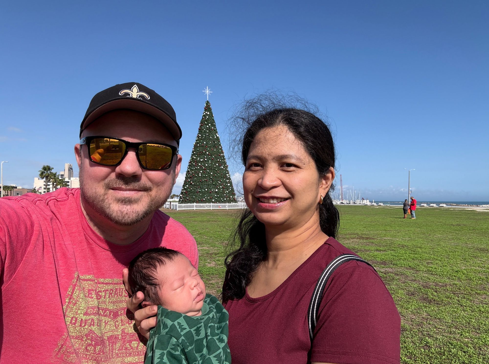
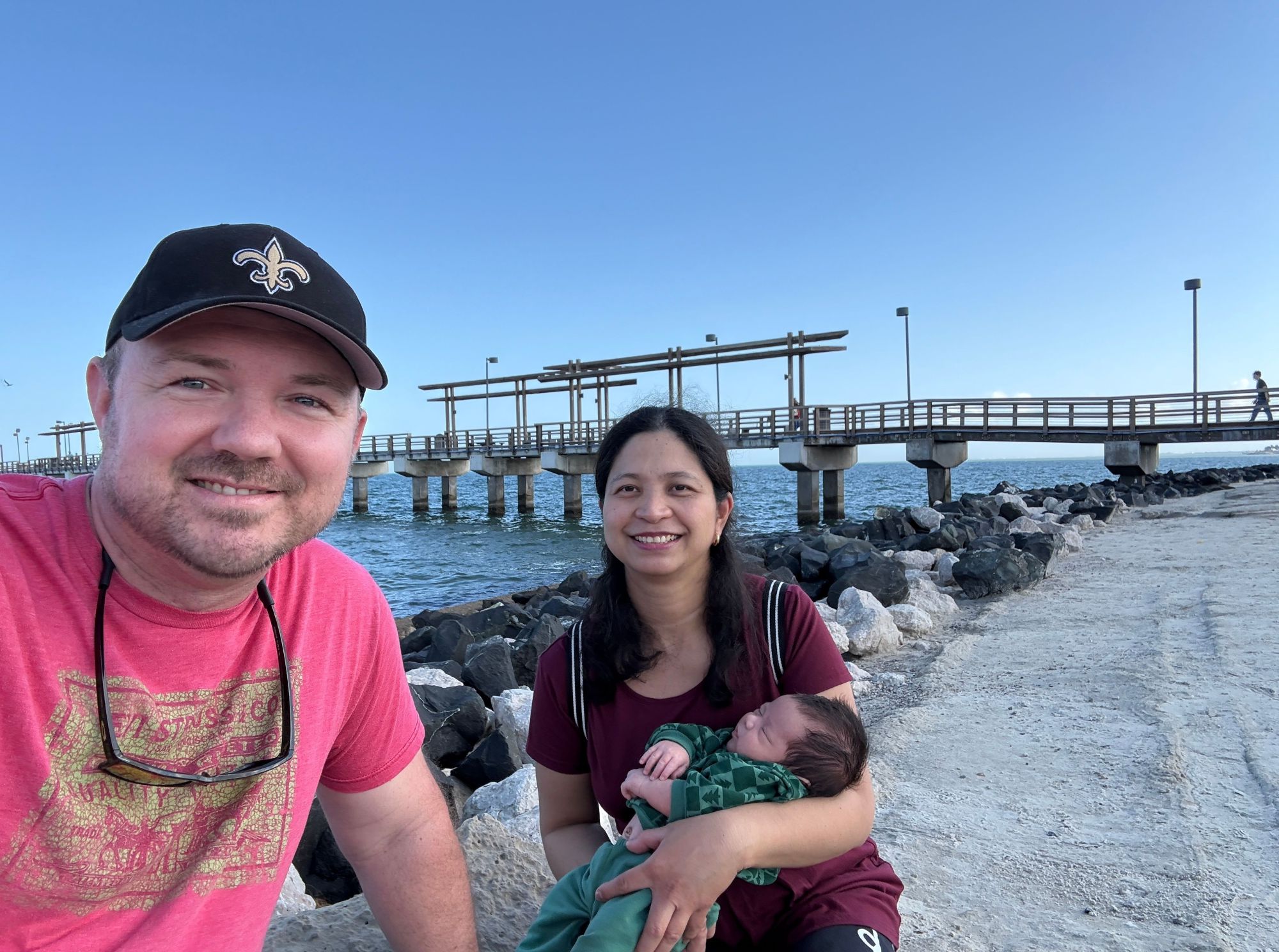
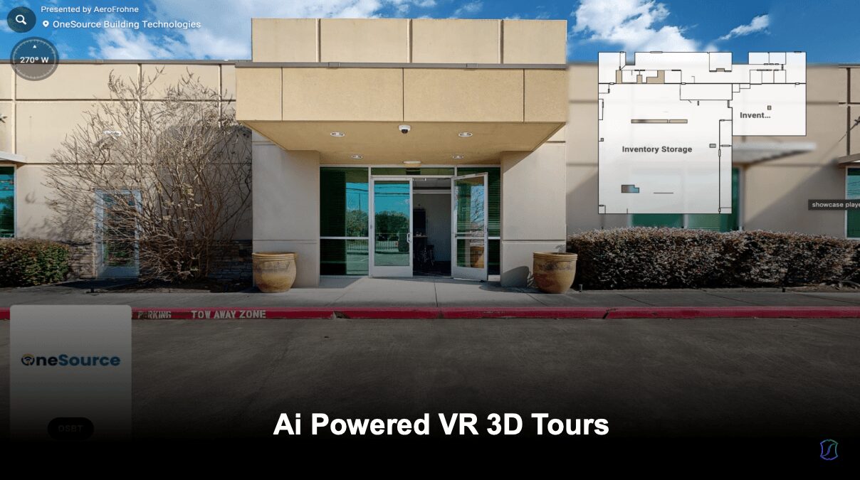
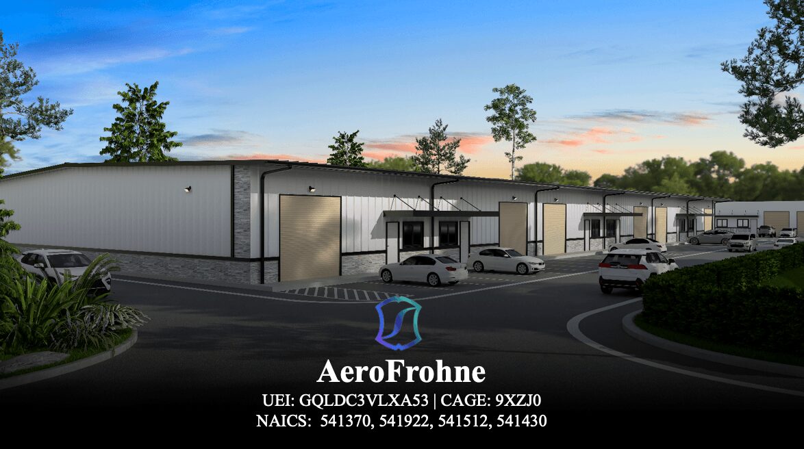
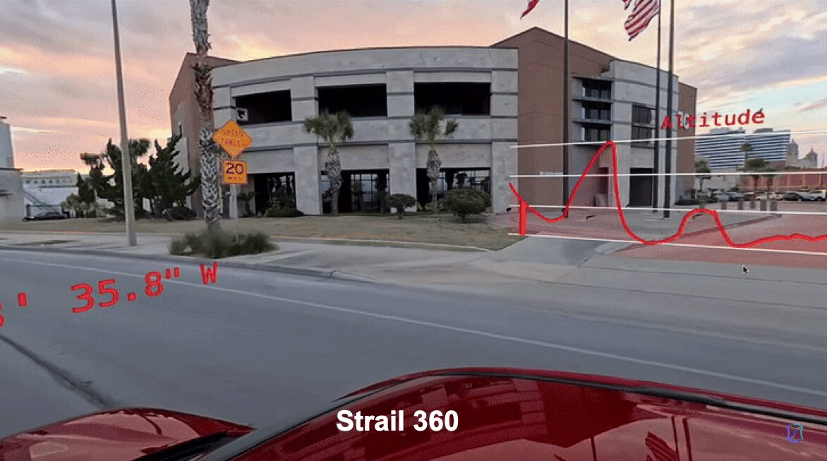
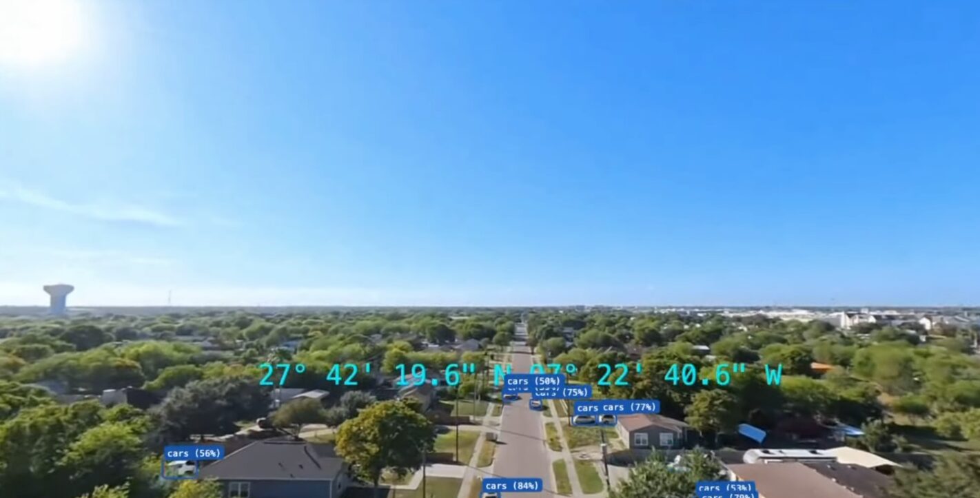
Image Credits
AeroFrohne